Geopolitical tensions and climate crisis: imminent perils on the oceans

The sea, a common good, is the keystone of our planet's climate system. The global economic system and our very survival depend on the preservation of our oceans and seas.
It was against this backdrop that the 5th edition of the forum de la mer which took place on Friday September 26th in Bizerte, Tunisia. An international meeting devoted to maritime issues. An opportunity to take stock of risks, challenges and possible solutions. .
Oceans and seas: the dangers facing humanity
Oceans cover more than 70% of the earth's surface. The Mediterranean Sea, the largest of the intercontinental seas, extends over 2.9 million km2 and represents 0.8% of the world's waters. Situated between Europe, North Africa and Western Asia, it is, as its name suggests, "in the middle of the land". Its position is a factor that exacerbates the concentration of plastic pollution. According to a 2019 report by the World Wildlife Fund (WWF), the concentration of plastic would make it the most polluted sea in the world.
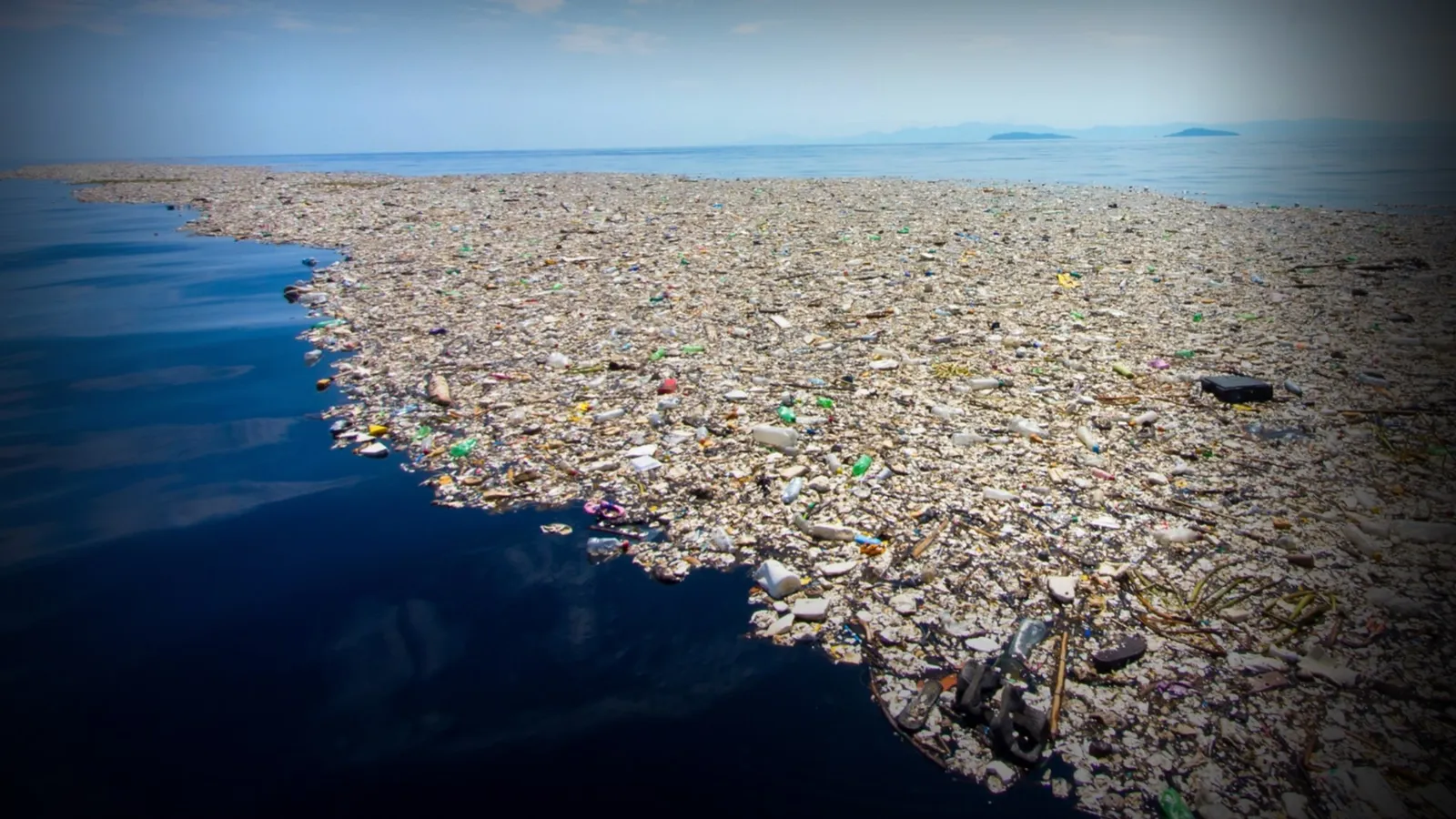
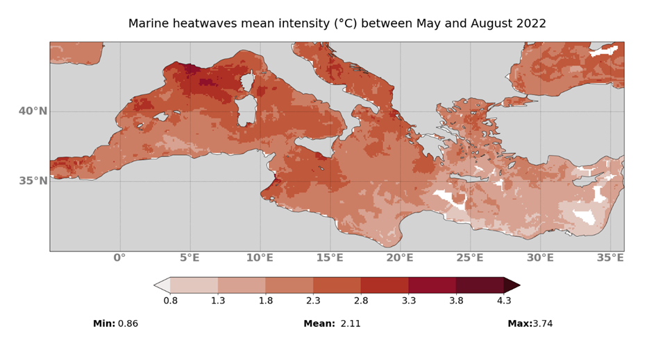
But pollution is not the only danger threatening the Mediterranean. This summer, the average temperature of the Mediterranean rose by 6 degrees above normal, a direct result of the climate crisis that is making the situation increasingly critical for living organisms:
"There are places in the Mediterranean where all summer long, for over 90 days, the temperature remained at the highest level we've ever experienced. The temperature reached maximums that never went down. Marine species are suffering enormously, there's no respite, it's constant and heat waves are dominant and invasive all over the Mediterranean, especially in the western part, and it's catastrophic."
— Pierre Bahurel, Managing Director of Mercator Ocean.